|
©The Archaeological Settlements of Turkey - TAY Project
|
|
|
|
|
|
Bulamaç Höyük |
|
|
For site maps and drawings please click on the picture...  |
For photographs please click on the photo... 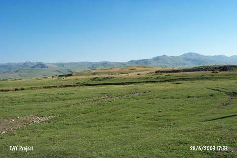 |
|
Type:
|
Mound |
|
Altitude:
|
1720 m |
|
Region:
|
Eastern Anatolia |
|
Province:
|
Erzurum |
|
District:
|
Pasinler |
|
Village:
|
|
|
Investigation Method:
|
Excavation |
|
Period:
|
Middle Iron Age |
|
|
|
 |
|
| It lies 500 m south of the road at the 30th km of the Erzurum-Pasinler motorway in the Pasinler District of Erzurum. It measures about 50x150x15 m in dimensions. Six building levels, which were temporarily called "a-b-c-d-e" and "f", are observed immediately following the debris level of stones, rubbles and mudbricks with a thickness of 20-30 cm from the top. The height between the levels is 10-15 cm in average. The survey yielded coarse, unslipped handmade pottery with only slight fractures, almost intact and also plenty of sherds of similar ware, sherds of monochrome (brown and its tones) or multi-colored (blue, green, etc.) vessels, broken glass objects, iron and bronze fragments. The lowest secondary level yielded a layer of 20 to 30 cm thick "raw soil", which doesn't include any sherds and/or mudbricks. This layer was followed by sherds of burnished ware with red, brown and black surface or red-grey-black mottled surface dating to the Iron Age. It takes place in the registered archaeological sites list prepared by Ministry of Culture and Tourism. |
| Location: |
| Geography and Environment: |
| History: |
| Research and Excavation: |
| Stratigraphy: |
| Small Finds: |
| Remains: |
| Interpretation and Dating: |