|
©The Archaeological Settlements of Turkey - TAY Project
|
|
|
|
|
|
Altinbasak Höyük |
|
|
For site maps and drawings please click on the picture...  |
For photographs please click on the photo... 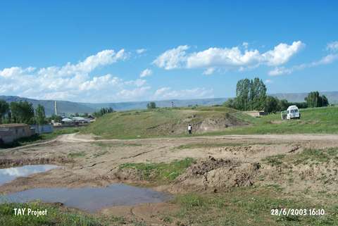 |
|
Type:
|
Mound |
|
Altitude:
|
1680 m |
|
Region:
|
Eastern Anatolia |
|
Province:
|
Erzurum |
|
District:
|
Pasinler |
|
Village:
|
Altinbasak |
|
Investigation Method:
|
Survey |
|
Period:
|
Middle Iron Age |
|
|
|
 |
|
| It is located in the Altinbasak Villae, 7 km east of the Pasinler District in Erzurum. Extending in the north-south direction, it measures 46x65 m in dimensions. It has been obscured by a modern settlement, and sherds dating to the Early Bronze Age (Karaz ware), Iron Age and Middle Age were found. |
| Location: |
| Geography and Environment: |
| History: |
| Research and Excavation: |
| Stratigraphy: |
| Small Finds: |
| Remains: |
| Interpretation and Dating: |