|
©The Archaeological Settlements of Turkey - TAY Project
|
|
|
|
|
|
Alkaya |
|
|
For site maps and drawings please click on the picture...  |
For photographs please click on the photo... 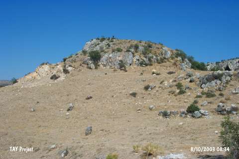 |
|
Type:
|
Mound |
|
Altitude:
|
1610 m |
|
Region:
|
Black Sea |
|
Province:
|
Tokat |
|
District:
|
Zile |
|
Village:
|
Edeköy |
|
Investigation Method:
|
Survey |
|
Period:
|
|
|
|
|
 |
|
| It lies to the immediate north of the Zile-Turhal motorway, 5 km southeast of the Ede Village in the Zile District of Tokat. It is also called Agilkaya. It was discovered by a team under the direction of M. Özsait during the Zile Survey conducted in 1998. It has been heavily destroyed due to structuring and illicit diggings. It measures 120x80 m in dimensions. Sherds indicating the presence of EBA, MBA and Iron Age settlements were collected from the surface. |
| Location: |
| Geography and Environment: |
| History: |
| Research and Excavation: |
| Stratigraphy: |
| Small Finds: |
| Remains: |
| Interpretation and Dating: |