|
©The Archaeological Settlements of Turkey - TAY Project
|
|
|
|
|
|
Elvançelebi |
|
|
For site maps and drawings please click on the picture...  |
For photographs please click on the photo... 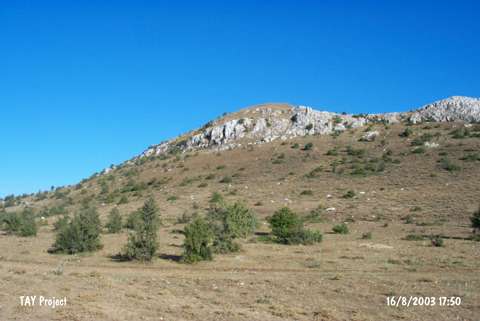 |
|
Type:
|
Mound |
|
Altitude:
|
1220 m |
|
Region:
|
Black Sea |
|
Province:
|
Çorum |
|
District:
|
Mecitözü |
|
Village:
|
Elvançelebi |
|
Investigation Method:
|
Survey |
|
Period:
|
|
|
|
|
 |
|
| It is situated in the fields; north of the road near to Elvançelebi Village; east of Çorum Province. The mound is locally known as Murittepe. It is a round mound. It measures ca. 9-10 m in height and 100 m in diameter. It has been severely damaged due to heavy cultivation. Sherds dating from the third and second millennium BC were collected from the surface. |
| Location: |
| Geography and Environment: |
| History: |
| Research and Excavation: |
| Stratigraphy: |
| Small Finds: |
| Remains: |
| Interpretation and Dating: |