|
©The Archaeological Settlements of Turkey - TAY Project
|
|
|
|
|
|
Akirbey Çiftlik |
|
|
For site maps and drawings please click on the picture...  |
For photographs please click on the photo... 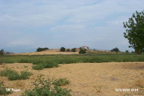 |
|
Type:
|
Mound |
|
Altitude:
|
100 m |
|
Region:
|
Aegean |
|
Province:
|
Manisa |
|
District:
|
Akhisar |
|
Village:
|
Merkez |
|
Investigation Method:
|
Survey |
|
Period:
|
|
|
|
|
 |
|
| It is located in the middle of a wide plain; immediately west of the railroad; 300 m north of the Manisa-Akhisar motorway; 7 km southwest of the district of Akhisar in the province of Manisa. The settlement is reported to be measuring 90x6 m and is a river bed to the east. It was discovered in 1959 by D. H. French; and introduced as an EBA settlement. Red burnished and gray/black burnished EBA sherds were collected from the surface. On the surface; pottery of the Hellenistic and Roman Periods and some architectural remains can be seen. It has been severely damaged by the village houses and the heavy cultivation. It was researched again by E. Akdeniz et al. in 2007 and was identified as a mound that measures 120x60 m and 12 m high. It is also known as Dagdeviren Çiftligi Mound. The mound contains a large amount of EBA, MBA and LBA sherds [Akdeniz 2009:256]. |
| Location: |
| Geography and Environment: |
| History: |
| Research and Excavation: |
| Stratigraphy: |
| Small Finds: |
| Remains: |
| Interpretation and Dating: |