|
©The Archaeological Settlements of Turkey - TAY Project
|
|
|
|
|
|
Yazitarla |
|
|
For site maps and drawings please click on the picture...  |
For photographs please click on the photo... 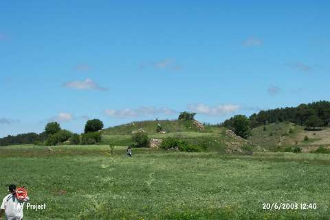 |
|
Type:
|
Mound |
|
Altitude:
|
1430 m |
|
Region:
|
Black Sea |
|
Province:
|
Ordu |
|
District:
|
Mesudiye |
|
Village:
|
Çavdar |
|
Investigation Method:
|
Survey |
|
Period:
|
|
|
|
|
 |
|
| It is situated 2 km southwest of the Çavdar Village. Its approximate dimensions are 150x100 m. Some Chalcolithic, EBA and Phrygian Period sherds were collected from the surface. The ceramics indicate that Yazilitarla had been inhabited again during the Phrygian Period after an abandonment of 2500 years [Özsait 1993:312-315]. |
| Location: |
| Geography and Environment: |
| History: |
| Research and Excavation: |
| Stratigraphy: |
| Small Finds: |
| Remains: |
| Interpretation and Dating: |