|
©The Archaeological Settlements of Turkey - TAY Project
|
|
|
|
|
|
Yaprakli Mevkii |
|
|
For site maps and drawings please click on the picture...  |
For photographs please click on the photo... 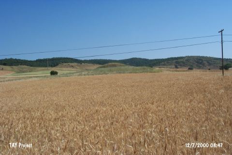 |
|
Type:
|
Flat Settlement |
|
Altitude:
|
830 m |
|
Region:
|
Marmara |
|
Province:
|
Bilecik |
|
District:
|
Bozüyük |
|
Village:
|
|
|
Investigation Method:
|
Survey |
|
Period:
|
|
|
|
|
 |
|
| It is situated on the left side of the Bozüyük - Eskisehir motorway, 11 km east of Bozüyük, southeast of Bilecik. Some Late Chalcolithic and Classical period sherds were found during the 1990 survey by T. Efe on this flat natural elevation. Recovery of ashlar blocks from an illicitly dug pit at the center of the hilltop suggests that the hill may have been used as a tumulus. |
| Location: |
| Geography and Environment: |
| History: |
| Research and Excavation: |
| Stratigraphy: |
| Small Finds: |
| Remains: |
| Interpretation and Dating: |