|
©The Archaeological Settlements of Turkey - TAY Project
|
|
|
|
|
|
Yakatarla / Maltepe |
|
|
For site maps and drawings please click on the picture...  |
For photographs please click on the photo... 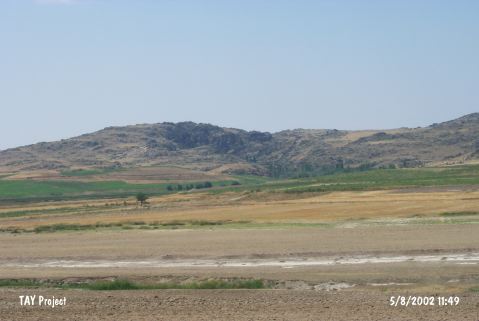 |
|
Type:
|
Mound |
|
Altitude:
|
1010 m |
|
Region:
|
Central Anatolia |
|
Province:
|
Nevsehir |
|
District:
|
Gülsehir |
|
Village:
|
Yakatarla |
|
Investigation Method:
|
Survey |
|
Period:
|
|
|
|
|
 |
|
| It is situated at Gireyme Mevkii on the border of the Yalintas Village at the south entrance of the Yakatarla Village, southwest of the Gülsehir District, northwest of Nevsehir. To the west runs the Alaçorak Stream. The mound lies on a natural elevation of 10 m height. The cultural deposit is 10 m thick, and the base diameter is 100 m. It has a small cone on the hilltop measuring 15x20 m. S.Y. Senyurt who made a collection in the pits of illicit diggings by treasure hunters on the hilltop and environs in 1997 indicates presence of several EBA, MBA, LBA and Iron Age sherds. It was listed among the registered archaeological sites by the Ministry of Culture and Tourism. |
| Location: |
| Geography and Environment: |
| History: |
| Research and Excavation: |
| Stratigraphy: |
| Small Finds: |
| Remains: |
| Interpretation and Dating: |