|
©The Archaeological Settlements of Turkey - TAY Project
|
|
|
|
|
|
Tiladir Tepe |
|
|
For site maps and drawings please click on the picture... 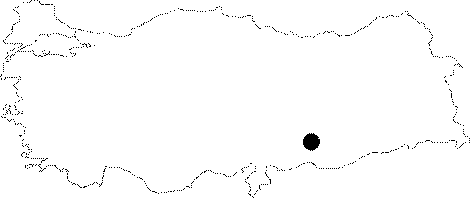 |
For photographs please click on the photo...  |
|
Type:
|
Mound |
|
Altitude:
|
360 m |
|
Region:
|
Southeastern Anatolia |
|
Province:
|
Sanliurfa |
|
District:
|
Birecik |
|
Village:
|
Ziyaret |
|
Investigation Method:
|
Survey |
|
Period:
|
|
|
|
|
 |
|
| With a longitudinal appearance, it extends for 610 m in north-south, and 200 m in east-west directions. It covers an area of ca. 30 acres with a height of 5 m. It is situated 700 m northeast of the Ziyaret Village. It is also known as Tel Ziguret. Finds dating to the Late Chalcolithic, Middle/Late Uruk, late Middle Bronze Age/early Late Bronze Age, Iron Age and Middle Age were found. It is assumed that the settlement covered an area of approximately 1.2 acres during the Iron Age [Algaze et al. 1994:60]. |
| Location: The site lies southwest of Sanliurfa; south of Birecik District; approximately 700 m north-northeast of Ziyaret Village; very close to Turkey-Syria border; approximately 3.5-4 km north-northeast of Karkamis Höyügü. |
| Geography and Environment: The 610x200 m mound; located at the east side of Euphrates on rocks just beside the river; covers an area of 12.2 hectares. It is ovoid; flat; and one of the important sites around the region due to its size. 5 m thick deposit is observed at the western section. Settlers probably used the river as a water source. Building remains southeast of the site are observed to be eroded away. |
| History: |
| Research and Excavation: |
| Stratigraphy: |
| Small Finds: |
| Remains: |
| Interpretation and Dating: |