|
©The Archaeological Settlements of Turkey - TAY Project
|
|
|
|
|
|
Terlemez |
|
|
For site maps and drawings please click on the picture...  |
For photographs please click on the photo... 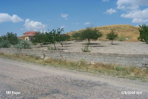 |
|
Type:
|
Mound |
|
Altitude:
|
1115 m |
|
Region:
|
Central Anatolia |
|
Province:
|
Nevsehir |
|
District:
|
Gülsehir |
|
Village:
|
Terlemez |
|
Investigation Method:
|
Survey |
|
Period:
|
|
|
|
|
 |
|
| It is situated at the east entrance of the Terlemez Village, west of the Gülsehir District, northwest of Nevsehir. The southern section is 6 m high, while the northern section is 25 m high. There is a dried out stream bank nearby. The fresh water spring to the west should have met water requirements of the inhabitants during that time. It was discovered by S.Y. Senyurt in 1997, and based on the report of the researcher, the Chalcolithic Age, EBA, MBA and Iron Age material were collected. |
| Location: |
| Geography and Environment: |
| History: |
| Research and Excavation: |
| Stratigraphy: |
| Small Finds: |
| Remains: |
| Interpretation and Dating: |