|
©The Archaeological Settlements of Turkey - TAY Project
|
|
|
|
|
|
Tepetarla |
|
|
For site maps and drawings please click on the picture...  |
For photographs please click on the photo... 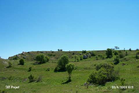 |
|
Type:
|
Mound |
|
Altitude:
|
1480 m |
|
Region:
|
Black Sea |
|
Province:
|
Ordu |
|
District:
|
Mesudiye |
|
Village:
|
Çardakli |
|
Investigation Method:
|
Survey |
|
Period:
|
|
|
|
|
 |
|
| The mound lies southwest of Ordu and of Mesudiye district; 1 km west of Çardakli village; 500 m southwest of Demircili quarter; in Degirmenardi Mevkii. It measures 200x150 m in dimensions. The surface finds indicate occupation during the Chalcolithic Age, Early Bronze Age and 1st Millennium BC [Özsait 1993:312-313]. |
| Location: |
| Geography and Environment: |
| History: |
| Research and Excavation: |
| Stratigraphy: |
| Small Finds: |
| Remains: |
| Interpretation and Dating: |