|
©The Archaeological Settlements of Turkey - TAY Project
|
|
|
|
|
|
Tepedibi |
|
|
For site maps and drawings please click on the picture...  |
For photographs please click on the photo... 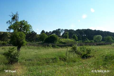 |
|
Type:
|
Upland Settlement |
|
Altitude:
|
1390 m |
|
Region:
|
Black Sea |
|
Province:
|
Ordu |
|
District:
|
Mesudiye |
|
Village:
|
Güzle |
|
Investigation Method:
|
Survey |
|
Period:
|
|
|
|
|
 |
|
| It was discovered at Tepedibi Mevkii in the Kenger Quarter of the Güzle Village in Mesudiye. It was named after the localion. It has a tumulus-like appearance. The surface finds indicate presence of settlements dating from the Chalcolithic Age, EBA and Iron Age [Özsait 1991:362]. |
| Location: |
| Geography and Environment: |
| History: |
| Research and Excavation: |
| Stratigraphy: |
| Small Finds: |
| Remains: |
| Interpretation and Dating: |