|
©The Archaeological Settlements of Turkey - TAY Project
|
|
|
|
|
|
Taskaracaören |
|
|
For site maps and drawings please click on the picture...  |
For photographs please click on the photo... 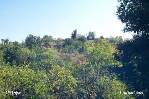 |
|
Type:
|
Mound |
|
Altitude:
|
875 m |
|
Region:
|
Black Sea |
|
Province:
|
Samsun |
|
District:
|
Havza |
|
Village:
|
Taskaracaören |
|
Investigation Method:
|
Survey |
|
Period:
|
|
|
|
|
 |
|
| It is situated in the Taskaracaören Village of the Havza District in Samsun. The Köy Stream flows through the north-northeast skirt of the mound. To the east runs a brook. Sherds are dated to the EBA, MBA, Iron Age, Roman and Late Roman Periods. |
| Location: |
| Geography and Environment: |
| History: |
| Research and Excavation: |
| Stratigraphy: |
| Small Finds: |
| Remains: |
| Interpretation and Dating: |