|
©The Archaeological Settlements of Turkey - TAY Project
|
|
|
|
|
|
Sürük Mevkii |
|
|
For site maps and drawings please click on the picture... 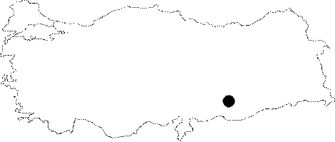 |
For photographs please click on the photo...  |
|
Type:
|
Mound |
|
Altitude:
|
440 m |
|
Region:
|
Southeastern Anatolia |
|
Province:
|
Adiyaman |
|
District:
|
Samsat |
|
Village:
|
|
|
Investigation Method:
|
Survey |
|
Period:
|
|
|
|
|
 |
|
| It is situated to the northeast of the Eski Samsat District, south of Adiyaman. At present it has been flooded by the reservoir waters of the Atatürk Dam. The settlement so called Sürük Mevkii was located on the shore of the Atatürk Dam reservoir to the east of a terrace with an altitude of 450-500 m known as Gazikumca Kirmalari on the west bank of the Alikan Stream (Gevrik) which used to be a seasonal stream joining with the Euphrates River before, now spilling into the dam reservoir. There is a fresh water spring right below. The dimensions of the settlement was measured based on the scattered area of the sherds. It is a small mound lying 130 m long in north-south direction, and 90 m long in east-west direction. The thickness of the cultural deposit could not be identified. Samsat and its environs are particularly rich in flint seam. The site was favorable for a small village settlement due to its proximity to the Euphrates and the surrounding fertile fields. It was discovered during the Lower Euphrates Project by a team from the Faculty of Letters of the Istanbul University under the direction of M. Özdogan in 1977 [Özdogan 1977:124]. Based on the material collected from the mound, presence of the Post-Classic Period, Classic Period and Iron Age settlements was identified. However, recovery of stone tools suggests presence of a Neolithic Age settlement as well according to Özdogan [Stein 1992:21]. |
| Location: This site lies south of the city of Adiyaman; northeast of the old town of Samsat. |
| Geography and Environment: The site; known as Sürük Mevkii; is at the border of the Atatürk Dam Lake. The mound is located on the western bank of Alikan Stream; also known as Gevrik Stream; which now empties into the dam lake but used to empty into the Euphrates River. On the western bank of this river is a terrace known as the Gazikumca Kirmalari; which is at an elevation between 450-500 m above sea-level. The site lies east of this terrace. There is a freshwater spring very near the mound. The site size; 130 m north-south and 90 m east-west; has been determined by the artifact extent. The thickness of the cultural material deposit has not been measured. The area around Samsat is rich in flint outcrops. The proximity of the site to the Euphrates River and the fertile lands around the mound may have been among the reasons why early settlers chose this location. |
| History: |
| Research and Excavation: |
| Stratigraphy: |
| Small Finds: |
| Remains: |
| Interpretation and Dating: |