|
©The Archaeological Settlements of Turkey - TAY Project
|
|
|
|
|
|
Serçe Höyük |
|
|
For site maps and drawings please click on the picture...  |
For photographs please click on the photo... 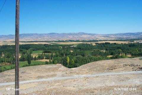 |
|
Type:
|
Mound |
|
Altitude:
|
800 m |
|
Region:
|
Black Sea |
|
Province:
|
Çorum |
|
District:
|
Merkez |
|
Village:
|
Altinbas |
|
Investigation Method:
|
Survey |
|
Period:
|
|
|
|
|
 |
|
| It lies 1.3 km northeast of the Altinbas Village; about 8 km west of Çorum Province. It is north-south oriented. It is 15-20 m high above the road level. It has been cultivated. The highest point faces west, declining toward the east with a flat and a smooth inclination. It has a length of 250-300 m in east-west direction including the skirts. The sherds collected from the surface are dated to the 3rd and 2nd Millennia BC, Iron Age and Hellenistic Period. |
| Location: |
| Geography and Environment: |
| History: |
| Research and Excavation: |
| Stratigraphy: |
| Small Finds: |
| Remains: |
| Interpretation and Dating: |