|
©The Archaeological Settlements of Turkey - TAY Project
|
|
|
|
|
|
Sarioglan / Belören |
|
|
For site maps and drawings please click on the picture...  |
For photographs please click on the photo... 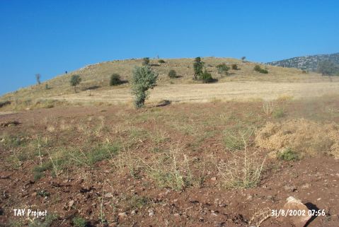 |
|
Type:
|
Mound |
|
Altitude:
|
1389 m |
|
Region:
|
Central Anatolia |
|
Province:
|
Konya |
|
District:
|
Bozkir |
|
Village:
|
Sarioglan |
|
Investigation Method:
|
Survey |
|
Period:
|
Early Iron Age Middle Iron Age |
|
|
|
 |
|
| It is situated 1.5 km southeast of the Sarioglan Subdistrict, east of the Bozkir District, approximately 80 km south of Konya. Sarioglan Höyük is located at an important junction to the immediate west of the (Belviran) Belören Town-Konya-Bozkir-Hadim-Güneysinir motorways. It lies 3 km south of the Belören Town, east of the Hadim Road. It measures 100x100x10 m in dimensions, and there is no major destruction on the mound. It had been inhabited during the EBA, MBA, LBA, Early Iron Age, Middle Iron Age, Hellenistic and Roman Periods. It had an important role in the relations of the Central Anatolian Mediterranean and West Anatolian Regions. Some flintstone tools were also collected from the surface. |
| Location: |
| Geography and Environment: |
| History: |
| Research and Excavation: |
| Stratigraphy: |
| Small Finds: |
| Remains: |
| Interpretation and Dating: |