|
©The Archaeological Settlements of Turkey - TAY Project
|
|
|
|
|
|
Saglar Höyük |
|
|
For site maps and drawings please click on the picture...  |
For photographs please click on the photo... 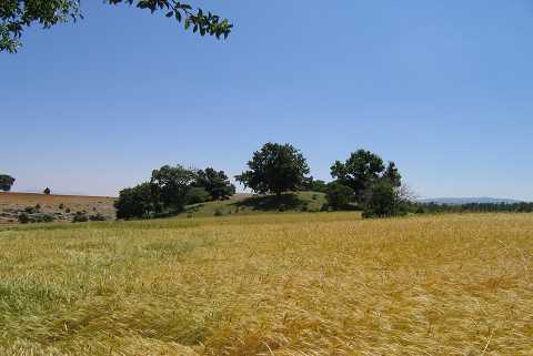 |
|
Type:
|
Mound |
|
Altitude:
|
1120 m |
|
Region:
|
Aegean |
|
Province:
|
Kütahya |
|
District:
|
Altintas |
|
Village:
|
Terziler |
|
Investigation Method:
|
Survey |
|
Period:
|
Early Iron Age Middle Iron Age Late Iron Age |
|
|
|
 |
|
| It is situated 2.8 km south-southeast of the Bezirgan Village, northwest of the Terziler Village in the Altintas District of Kütahya. The Saglar Village after which the mound was named is west-northwest oriented, and it is an abandoned village at present lying within the boundaries of the Terziler and Bezirgan Villages. It has been occupied by a cemetery from recent periods. A pit indicating destruction is observed on the hilltop. It was discovered during the Survey in the Kütahya, Bilecik and Eskisehir Provinces conducted under the direction of T. Efe in 1991. It measures 90 m in diameter, and 10 m in height. It contains EBA I-II and1st Millennium BC material. |
| Location: |
| Geography and Environment: |
| History: |
| Research and Excavation: |
| Stratigraphy: |
| Small Finds: |
| Remains: |
| Interpretation and Dating: |