|
©The Archaeological Settlements of Turkey - TAY Project
|
|
|
|
|
|
Pilav Tepesi |
|
|
For site maps and drawings please click on the picture...  |
For photographs please click on the photo... 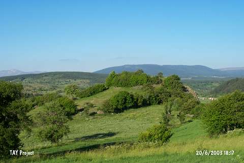 |
|
Type:
|
Mound |
|
Altitude:
|
1480 m |
|
Region:
|
Black Sea |
|
Province:
|
Ordu |
|
District:
|
Mesudiye |
|
Village:
|
Dayili |
|
Investigation Method:
|
Survey |
|
Period:
|
|
|
|
|
 |
|
| It is situated 1 km northeast of the Dayili Village, 15 km southwest of Mesudiye. It has been partially destroyed. Sherds of Phrygian painted and monochrome ware as well as EBA sherds were collected from the surface [Özsait 1993:314-315]. |
| Location: |
| Geography and Environment: |
| History: |
| Research and Excavation: |
| Stratigraphy: |
| Small Finds: |
| Remains: |
| Interpretation and Dating: |