|
©The Archaeological Settlements of Turkey - TAY Project
|
|
|
|
|
|
Patlanguç Tepe |
|
|
For site maps and drawings please click on the picture...  |
For photographs please click on the photo... 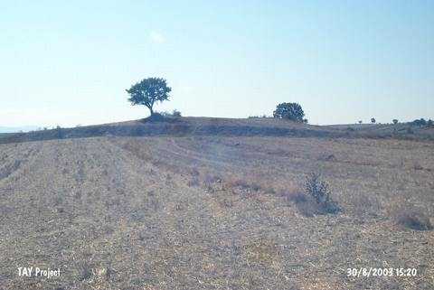 |
|
Type:
|
Mound |
|
Altitude:
|
618 m |
|
Region:
|
Black Sea |
|
Province:
|
Samsun |
|
District:
|
Havza |
|
Village:
|
Demiryurt |
|
Investigation Method:
|
Survey |
|
Period:
|
|
|
|
|
 |
|
| It is situated 1 km south of the Demiryurt Village in the Havza District of Samsun. It is a low and flat hill. The Demiryurt Village Cemetery is located on its northeastern skirt. To the west-northwest runs the Hamam Stream, and it lies to the west-northwest of the Havza-Bafra motorway. Sherds dating to the EBA, MBA, Iron Age, Roman and Late Roman Periods were collected. |
| Location: |
| Geography and Environment: |
| History: |
| Research and Excavation: |
| Stratigraphy: |
| Small Finds: |
| Remains: |
| Interpretation and Dating: |