|
©The Archaeological Settlements of Turkey - TAY Project
|
|
|
|
|
|
Ören |
|
|
For site maps and drawings please click on the picture...  |
For photographs please click on the photo... 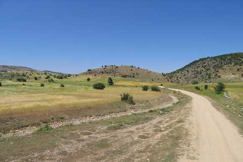 |
|
Type:
|
Flat Settlement |
|
Altitude:
|
1185 m |
|
Region:
|
Aegean |
|
Province:
|
Kütahya |
|
District:
|
Aslanapa |
|
Village:
|
Tokul |
|
Investigation Method:
|
Survey |
|
Period:
|
Early Iron Age Middle Iron Age Late Iron Age |
|
|
|
 |
|
| It lies on a natural high hill known as Ören to the south of the Tokul Village, east of the Altintas District in Kütahya. Some flintstones datable to the Palaeolithic Age and sherds dating to the EBA II-III and 2nd Millennium BC were found on the southern slope and on the hilltop as well as the plain ground in front of it. It was discovered during the surveys of the Kütahya, Bilecik and Eskisehir Provinces conducted by T. Efe in 1991. |
| Location: |
| Geography and Environment: |
| History: |
| Research and Excavation: |
| Stratigraphy: |
| Small Finds: |
| Remains: |
| Interpretation and Dating: |