|
©The Archaeological Settlements of Turkey - TAY Project
|
|
|
|
|
|
Ortaca |
|
|
For site maps and drawings please click on the picture...  |
For photographs please click on the photo... 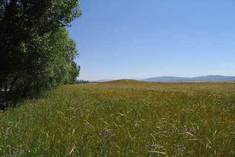 |
|
Type:
|
Mound |
|
Altitude:
|
1035 m |
|
Region:
|
Aegean |
|
Province:
|
Kütahya |
|
District:
|
Aslanapa |
|
Village:
|
Ortaca |
|
Investigation Method:
|
Survey |
|
Period:
|
Early Iron Age Middle Iron Age Late Iron Age |
|
|
|
 |
|
| It is situated to the southeast of the Ortaca Village and west of the river; northwest of Altintas District; south of Kütahya Province. It was discovered by J. Mellaart and was investigated in detail by T. Efe during the Survey of the Kütahya, Bilecik and Eskisehir Provinces in 1991. It is a north-south oriented mound with an oval shape. It measures 230 m in diameter, and 8 m in height. It contains material from the EBA II-III, 2nd and 1st Millennia BC. It takes place in the registered archaeological sites list prepared by Ministry of Culture and Tourism. |
| Location: |
| Geography and Environment: |
| History: |
| Research and Excavation: |
| Stratigraphy: |
| Small Finds: |
| Remains: |
| Interpretation and Dating: |