|
©The Archaeological Settlements of Turkey - TAY Project
|
|
|
|
|
|
Nergis |
|
|
For site maps and drawings please click on the picture...  |
For photographs please click on the photo... 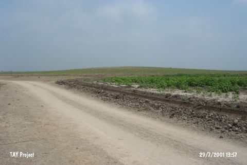 |
|
Type:
|
Mound |
|
Altitude:
|
50 m |
|
Region:
|
Mediterranean |
|
Province:
|
Adana |
|
District:
|
Karatas |
|
Village:
|
Kesik |
|
Investigation Method:
|
Survey |
|
Period:
|
|
|
|
|
 |
|
| It is situated 1 km south of the Nergis Village to the north of the road between Karatas and Kesik, southeast of Adana. Discovery of a sherd of a fruit stand on the surface of the mound indicates presence of an EBA phase III settlement. Also found are sherds dating to the Hittite, Roman and Islamic Periods [Seton-Williams 1954:165-166]. |
| Location: |
| Geography and Environment: |
| History: |
| Research and Excavation: |
| Stratigraphy: |
| Small Finds: |
| Remains: |
| Interpretation and Dating: |