|
©The Archaeological Settlements of Turkey - TAY Project
|
|
|
|
|
|
Mustafa Ali'nin Höyügü |
|
|
For site maps and drawings please click on the picture...  |
For photographs please click on the photo... 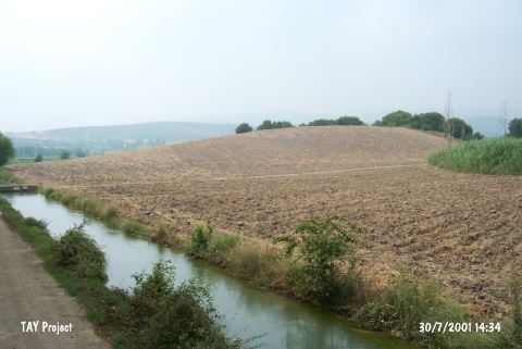 |
|
Type:
|
Mound |
|
Altitude:
|
120 m |
|
Region:
|
Mediterranean |
|
Province:
|
Osmaniye |
|
District:
|
Sumbas |
|
Village:
|
Merkez |
|
Investigation Method:
|
Survey |
|
Period:
|
|
|
|
|
 |
|
| It is situated 2.2 km from the Karaömerli Quarter in the Sumbas District, north of Osmaniye. It was also visited by H. Çambel. It was reported to contain sherds dating to the EBA, Late Hittite, Hellenistic and Roman Periods [Seton-Williams 1954:165]. |
| Location: |
| Geography and Environment: |
| History: |
| Research and Excavation: |
| Stratigraphy: |
| Small Finds: |
| Remains: |
| Interpretation and Dating: |