|
©The Archaeological Settlements of Turkey - TAY Project
|
|
|
|
|
|
Molla Ahmet |
|
|
For site maps and drawings please click on the picture...  |
For photographs please click on the photo... 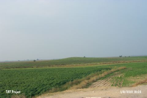 |
|
Type:
|
Mound |
|
Altitude:
|
80 m |
|
Region:
|
Mediterranean |
|
Province:
|
Adana |
|
District:
|
Ceyhan |
|
Village:
|
Incetarla |
|
Investigation Method:
|
Survey |
|
Period:
|
|
|
|
|
 |
|
| It is situated to the south of the Incetarla (Mercin) Village, north of the Ceyhan-Osmaniye motorway, 6 km northeast of Ceyhan, east of Adana. It is a small and low hill, which is 5 m high. It was discovered during the Cilician Survey conducted under the direction by M.V. Seton-Williams in 1951. Sherds dating to the Chalcolithic Age [Harmankaya et al. 1998: Molla Ahmet], Late Bronze Age, Iron Age, Hellenistic, Roman and Byzantine Period were collected [Seton-Williams 1954:131-165; findspot 28]. It takes place in the registered archaeological sites list prepared by Ministry of Culture and Tourism. |
| Location: |
| Geography and Environment: |
| History: |
| Research and Excavation: |
| Stratigraphy: |
| Small Finds: |
| Remains: |
| Interpretation and Dating: |