|
©The Archaeological Settlements of Turkey - TAY Project
|
|
|
|
|
|
Egriköy |
|
|
For site maps and drawings please click on the picture...  |
For photographs please click on the photo... 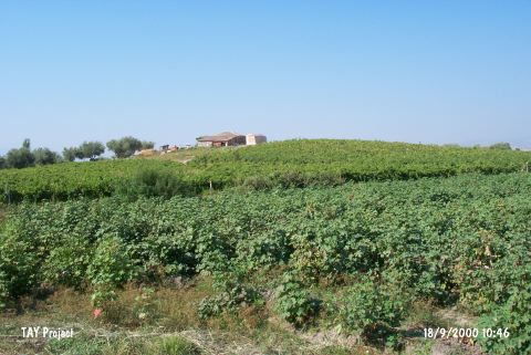 |
|
Type:
|
Mound |
|
Altitude:
|
10 m |
|
Region:
|
Aegean |
|
Province:
|
Manisa |
|
District:
|
Merkez |
|
Village:
|
Egriköy |
|
Investigation Method:
|
Survey |
|
Period:
|
|
|
|
|
 |
|
| It lies to the southwest of the town of Üçpinar; northwest of the province of Manisa. It is a high mound with steep slopes. It is reported that there are no visible water sources nearby. The settlement is locally known as Bakla Tepe. It was discovered by D.H. French in 1959. EBA sherds consisting of red burnished; gray/black burnished; red slipped; and gray ware were collected from the surface. 2nd millennium BC material is also available. |
| Location: |
| Geography and Environment: |
| History: |
| Research and Excavation: |
| Stratigraphy: |
| Small Finds: |
| Remains: |
| Interpretation and Dating: |