|
©The Archaeological Settlements of Turkey - TAY Project
|
|
|
|
|
|
Mescitli Hamamtepe |
|
|
For site maps and drawings please click on the picture...  |
For photographs please click on the photo... 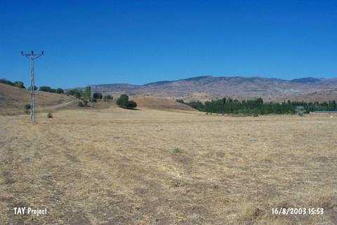 |
|
Type:
|
Mound |
|
Altitude:
|
540 m |
|
Region:
|
Black Sea |
|
Province:
|
Çorum |
|
District:
|
Laçin |
|
Village:
|
Mescitli |
|
Investigation Method:
|
Survey |
|
Period:
|
|
|
|
|
 |
|
| It lies left of the village road while entering to Mescitli Village of Laçin District; north of Çorum District. It measures ca. 95x75m in dimensions. It is 15 m high above the road level. The sherds collected from the surface belong to the 3rd and 2nd Millennium BC and Iron Age. Traces of adobes are observed in the pits on the hilltop. |
| Location: |
| Geography and Environment: |
| History: |
| Research and Excavation: |
| Stratigraphy: |
| Small Finds: |
| Remains: |
| Interpretation and Dating: |