|
©The Archaeological Settlements of Turkey - TAY Project
|
|
|
|
|
|
Egriçay - Çakalsuyu |
|
|
For site maps and drawings please click on the picture... 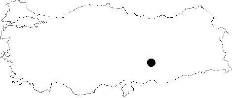 |
For photographs please click on the photo...  |
|
Type:
|
Single Findspot |
|
Altitude:
|
m |
|
Region:
|
Southeastern Anatolia |
|
Province:
|
Adiyaman |
|
District:
|
Merkez |
|
Village:
|
Merkez |
|
Investigation Method:
|
Survey |
|
Period:
|
OP |
|
|
|
 |
|
| Location: This site is on the Egriçay Stream; southwest of the city of Adiyaman. |
| Geography and Environment: The flat plain south-southeast of Adiyaman has been carved by deep riverbeds. Egriçay; which flows as close as 15 km near the city center joins the Ziyaret Stream; which is called the Kalburcu Stream where it empties into the Euphrates. |
| History: |
| Research and Excavation: E. Pittard reports that he discovered chipped stone tools 5 km south of the city of Adiyaman in 1928. He explains that the tools were at an altitude of 600-700 m; lying by the Çakalsuyu stream bed; close to a village he does not name. Pittard was probably slightly disoriented and is referring to Pirun; he could not have been surveying the Çakalsuyu vicinity because that would place him at least 15 km from Adiyaman. The stream bed he is referring to is most probably Egriçay and the unnamed village is either Vartana which is about 3.5 km south of Adiyaman; or the village of Büyük Kavak 6.5 km south-southwest of the city. Because of the uncertain location of this site; it should be regarded with skepticism. Pittard does; however; mentions that there are rock-shelters nearby which raises the possibility that the site might indeed be close to Pirun. In his foot survey around Adiyaman; Sevket Aziz Kansu discovered some chipped stone tools southeast of the city. If this is the same site; Kansu would have had to have walked 15 km southeast of Adiyaman to reach the Çakalsuyu Stream. It is most likely that the site in question is somewhere between the Egriçay and Çakalsuyu streams. Again; the "Çakalsuyu" that Kökten refers to in his 1945 survey is probably actually the terraces near Pirun; beyond the Ziyaret Stream and has nothing to do with Çakalsuyu. Kökten claims that the Moustérien reddish flint point that was found in Kansu's survey comes from Pirun [Kökten 1953:197]. |
| Stratigraphy: |
| Small Finds: The flintstone tools found by Pittard in the area described above all have brownish patinas and have been assigned to the Middle Palaeolithic. Kansu's triangular reddish flint point classified as Moustérien is 7.2x3.8 cm in size. |
| Remains: |
| Interpretation and Dating: |