|
©The Archaeological Settlements of Turkey - TAY Project
|
|
|
|
|
|
Egribük Çakilligi |
|
|
For site maps and drawings please click on the picture... 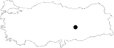 |
For photographs please click on the photo...  |
|
Type:
|
Single Findspot |
|
Altitude:
|
m |
|
Region:
|
Eastern Anatolia |
|
Province:
|
Malatya |
|
District:
|
Yazihan |
|
Village:
|
Egribük |
|
Investigation Method:
|
Survey |
|
Period:
|
OP |
|
|
|
 |
|
| Location: This open-air site is northwest of the city of Malatya and east of the town of Yazihan. It used to be where Kuruçay; a small stream which flowed into the Euphrates meandered before the region was flooded by the Karakaya Dam Lake. The artifacts were found in a gravel pit which was about 60-80 m above the natural level of the Euphrates. The proximity of the artifact scatter to the Euphrates and its positioning to the Kuruçay Stream has not been published. |
| Geography and Environment: Researchers report that the gravel pits were exposed by erosion of the overlying sand. Before the dam lake; the rolling hills on both sides of the Euphrates were between 20 and 25 m above the level of the river. The site lay on the Pleistocene terrace above this valley. |
| History: |
| Research and Excavation: I. Yalçinkaya; H. Müller-Beck and G. Albert found Palaeolithic artifacts around the Kuruçay Stream; during their 1979 surface survey in Malatya. They report that they found 8 different Palaeolithic artifact scatters in this region. Some were in the gravel pit described above together with faunal remains. The exact proveniences and contexts of the artifacts have not been published [Yalçinkaya 1987:30]. |
| Stratigraphy: |
| Small Finds: The artifacts found here have been assigned to the Middle Palaeolithic. The characteristics of these artifacts are unreported. Descriptions; drawings and photographs have not been published. |
| Remains: |
| Interpretation and Dating: |