|
©The Archaeological Settlements of Turkey - TAY Project
|
|
|
|
|
|
Külüntepe |
|
|
For site maps and drawings please click on the picture...  |
For photographs please click on the photo... 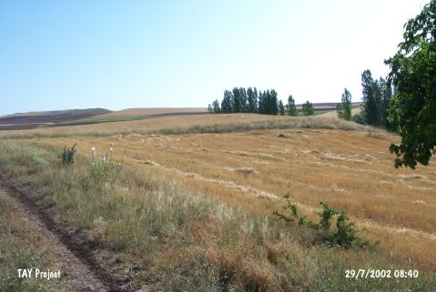 |
|
Type:
|
Mound |
|
Altitude:
|
1185 m |
|
Region:
|
Central Anatolia |
|
Province:
|
Nevsehir |
|
District:
|
Hacibektas |
|
Village:
|
Çayirbaglari |
|
Investigation Method:
|
Survey |
|
Period:
|
|
|
|
|
 |
|
| It lies 3 km east of the Çayir Village in the Hacibektas District of Nevsehir. It has a diameter of 100 m, and a height of 6 m. It was discovered during the Central Anatolian Survey conducted under the direction of S. Omura in 1990. Most of the sherds belong to the Chalcolithic Age and Early Bronze Age. A limited number of Iron Age sherds were also found. It was visited during the survey conducted by A. Türker in 2013. During the studies, no remains of occupation were encountered. A small number of Neolithic-Chalcolithic (?) and EBA potsherds were found [Türker 2015:236]. |
| Location: |
| Geography and Environment: |
| History: |
| Research and Excavation: |
| Stratigraphy: |
| Small Finds: |
| Remains: |
| Interpretation and Dating: |