|
©The Archaeological Settlements of Turkey - TAY Project
|
|
|
|
|
|
Küllüce |
|
|
For site maps and drawings please click on the picture...  |
For photographs please click on the photo... 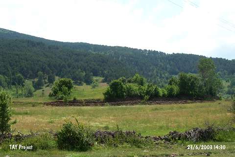 |
|
Type:
|
Mound |
|
Altitude:
|
1150 m |
|
Region:
|
Black Sea |
|
Province:
|
Ordu |
|
District:
|
Mesudiye |
|
Village:
|
Sarica |
|
Investigation Method:
|
Survey |
|
Period:
|
|
|
|
|
 |
|
| It is situated in the Müslümsarica Quarter founded on a high ridge to the south of the Ordu-Mesudiye road, 3 km southwest of the Mesudiye District, south of Ordu. It is ca. 10 m high, measuring 70x80 m in dimensions. It has been substantially destroyed. The finds collected from the surface indicate presence of Early Bronze Age and Iron Age settlements [Özsait 1995a:464]. |
| Location: |
| Geography and Environment: |
| History: |
| Research and Excavation: |
| Stratigraphy: |
| Small Finds: |
| Remains: |
| Interpretation and Dating: |