|
©The Archaeological Settlements of Turkey - TAY Project
|
|
|
|
|
|
Köy Tepesi |
|
|
For site maps and drawings please click on the picture...  |
For photographs please click on the photo... 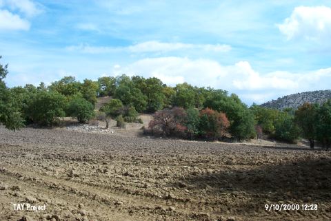 |
|
Type:
|
Flat Settlement |
|
Altitude:
|
1030 m |
|
Region:
|
Aegean |
|
Province:
|
Kütahya |
|
District:
|
Tavsanli |
|
Village:
|
Basköy |
|
Investigation Method:
|
Survey |
|
Period:
|
Middle Iron Age Late Iron Age Early Iron Age |
|
|
|
 |
|
| It is a flat settlement located on a natural hill, it lies west of Kütahya; southwest of Tavsanli; 1 km southwest of the Basköy Village as the crow flies. To the east runs the Sakarya Stream. It was discovered during the Survey of the Kütahya, Bilecik and Eskisehir Provinces by T. Efe in 1988. Late Chalcolithic and Iron Age material were collected. It takes place in the registered archaeological sites list prepared by Ministry of Culture and Tourism. |
| Location: |
| Geography and Environment: |
| History: |
| Research and Excavation: |
| Stratigraphy: |
| Small Finds: |
| Remains: |
| Interpretation and Dating: |