|
©The Archaeological Settlements of Turkey - TAY Project
|
|
|
|
|
|
Kömbet / Kümbet Tepe |
|
|
For site maps and drawings please click on the picture...  |
For photographs please click on the photo... 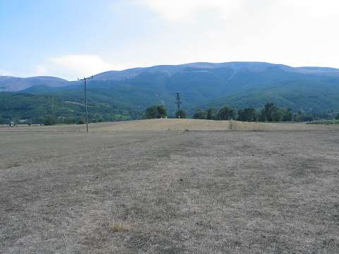 |
|
Type:
|
Mound |
|
Altitude:
|
915 m |
|
Region:
|
Black Sea |
|
Province:
|
Samsun |
|
District:
|
Ladik |
|
Village:
|
Büyükkizoglu |
|
Investigation Method:
|
Survey |
|
Period:
|
|
|
|
|
 |
|
| It is situated to the immediate north-northeast of the Tasova-Ladik motorway, 1 km north of the Büyük Kiziloglu Village, southeast of the Ladik District in Samsun. It lies to the west of the Ladik Lake. It is a low and flat mound. Several EBA, MBA and Iron Age sherds were collected. |
| Location: |
| Geography and Environment: |
| History: |
| Research and Excavation: |
| Stratigraphy: |
| Small Finds: |
| Remains: |
| Interpretation and Dating: |