|
©The Archaeological Settlements of Turkey - TAY Project
|
|
|
|
|
|
Killi Hüyük |
|
|
For site maps and drawings please click on the picture...  |
For photographs please click on the photo... 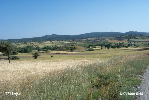 |
|
Type:
|
Mound |
|
Altitude:
|
73 m |
|
Region:
|
Marmara |
|
Province:
|
Bilecik |
|
District:
|
Bozüyük |
|
Village:
|
Yenidodurga |
|
Investigation Method:
|
Survey |
|
Period:
|
|
|
|
|
 |
|
| It is situated approximately 2 km northeast of the Yenidodurga Village in the Bozüyük District of Bilecik. To the southeast runs the Kurudere Stream. The area is known as Terziören Mevkii. It was discovered by T. Efe during a survey in the region in 1988. It has a diameter of 200 m on the plain level, and a height of 11 m. It contains material from all EBA phases as well as Phrygian material. It takes place in the registered archaeological sites list prepared by Ministry of Culture and Tourism. |
| Location: |
| Geography and Environment: |
| History: |
| Research and Excavation: |
| Stratigraphy: |
| Small Finds: |
| Remains: |
| Interpretation and Dating: |