|
©The Archaeological Settlements of Turkey - TAY Project
|
|
|
|
|
|
Kavakli |
|
|
For site maps and drawings please click on the picture...  |
For photographs please click on the photo... 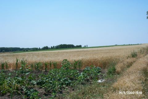 |
|
Type:
|
Flat Settlement |
|
Altitude:
|
60 m |
|
Region:
|
Marmara |
|
Province:
|
Edirne |
|
District:
|
Lalapasa |
|
Village:
|
Kavakli |
|
Investigation Method:
|
Survey |
|
Period:
|
|
|
|
|
 |
|
| It is situated on the eastern bank of the Ortakci Stream, south of the motorway running to the Yagcili Village, south of the Kavakli Village, northeast of the provincial center of Edirne. To the south runs a water channel joining with this stream. To the immediate south-southwest lies the Ortakçi/Kemer Köprü Mound. It was discovered in 1995 by B. Erdogu. Sherds dating to the Chalcolithic Age according to the Balkan chronology, and Late Chalcolithic Age according to the Anatolian chronology were found. Abundant number of Classical Period material was collected. |
| Location: |
| Geography and Environment: |
| History: |
| Research and Excavation: |
| Stratigraphy: |
| Small Finds: |
| Remains: |
| Interpretation and Dating: |