|
©The Archaeological Settlements of Turkey - TAY Project
|
|
|
|
|
|
Karakumluk |
|
|
For site maps and drawings please click on the picture...  |
For photographs please click on the photo... 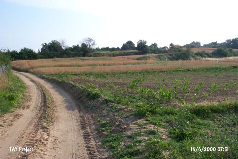 |
|
Type:
|
Flat Settlement |
|
Altitude:
|
20 m |
|
Region:
|
Marmara |
|
Province:
|
Edirne |
|
District:
|
Meriç |
|
Village:
|
Umurca |
|
Investigation Method:
|
Survey |
|
Period:
|
|
|
|
|
 |
|
| It has been obscured by the village cemetery, approximately 500 m south of the Umurca Village, 1 km far from Nasuhbey, 6 km west of the Meriç District in Edirne. A road leading to the village passes through the north of the cemetery, which lies at the south-southwest exit of the village. To the south of the settlement located in a plain lie fields. It was discovered during the survey of the Edirne Province performed by B. Erdogu in 1997. EBA and Classic Period sherds were collected from an area of ca. 100x100 m. |
| Location: |
| Geography and Environment: |
| History: |
| Research and Excavation: |
| Stratigraphy: |
| Small Finds: |
| Remains: |
| Interpretation and Dating: |