|
©The Archaeological Settlements of Turkey - TAY Project
|
|
|
|
|
|
Karahüyük / Midaion |
|
|
For site maps and drawings please click on the picture...  |
For photographs please click on the photo... 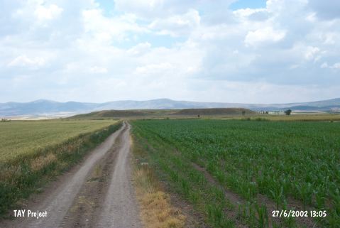 |
|
Type:
|
Mound |
|
Altitude:
|
805 m |
|
Region:
|
Central Anatolia |
|
Province:
|
Eskisehir |
|
District:
|
Merkez |
|
Village:
|
Karahüyük |
|
Investigation Method:
|
Survey |
|
Period:
|
Early Iron Age Middle Iron Age Late Iron Age |
|
|
|
 |
|
| It is situated within the boundaries of the Karahöyük Village, 700 m north of the Eskisehir-Alpu road, 1 km north-northwest of the Karahöyük Village, 35 km east of Eskisehir. It is one of the largest mounds discovered in the territory of Eskisehir Province. It commands the Porsuk-Alpu Plain within the Phrygian Epictetos Region and on the bank of the Tembris (Porsuk) Brook at the northernmost end of the Phrygia Region. It measures 500x500 m in dimensions, with an approximate height of 20 m. Surveys were conducted in 1994 by T. Efe and N. Bilgen. The city was called Midaion after the Phrygian King Midas. A mint found here reads TON KTICTHN MIDAEWN. The mound was screened by grids of 50x50 m. Among the abundant number of sherds collected from the surface are monochrome and painted Phrygian material. Based on the collected sherds, it seems that the mound had been inhabited uninterreptudly from the 3rd Millennium BC. It takes place in the registered archaeological sites list prepared by Ministry of Culture and Tourism. |
| Location: |
| Geography and Environment: |
| History: |
| Research and Excavation: |
| Stratigraphy: |
| Small Finds: |
| Remains: |
| Interpretation and Dating: |