|
©The Archaeological Settlements of Turkey - TAY Project
|
|
|
|
|
|
Akhisar Höyük |
|
|
For site maps and drawings please click on the picture...  |
For photographs please click on the photo... 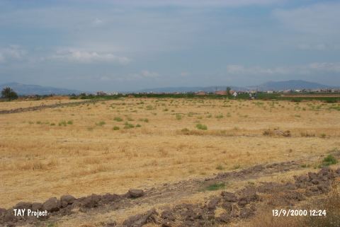 |
|
Type:
|
Mound |
|
Altitude:
|
100 m |
|
Region:
|
Aegean |
|
Province:
|
Manisa |
|
District:
|
Akhisar |
|
Village:
|
Merkez |
|
Investigation Method:
|
Survey |
|
Period:
|
|
|
|
|
 |
|
| It is located about 600 m west of Akhisar-Gölmarmara motorway; 3 km south of Akhisar District of Manisa Province. The site was investigated by D.H. French in 1959. It was researched again during the survey by E. Akdeniz et al. in 2007 and was identified as a flat mound that measures 150x100 m, and 3 m high. The collected sherds belong to EBA, MBA and LBA [Akdeniz 2009:256]. |
| Location: |
| Geography and Environment: |
| History: |
| Research and Excavation: |
| Stratigraphy: |
| Small Finds: |
| Remains: |
| Interpretation and Dating: |