|
©The Archaeological Settlements of Turkey - TAY Project
|
|
|
|
|
|
Kaldirim |
|
|
For site maps and drawings please click on the picture...  |
For photographs please click on the photo... 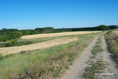 |
|
Type:
|
Flat Settlement |
|
Altitude:
|
-22 m |
|
Region:
|
Marmara |
|
Province:
|
Edirne |
|
District:
|
Merkez |
|
Village:
|
Hatip |
|
Investigation Method:
|
Survey |
|
Period:
|
Early Iron Age |
|
|
|
 |
|
| It is situated southeast of the road to the Hatip Village where it makes a curve on the western bank of the Tunca River, 1 km east of the Hatip Village, 15 km north of the provincial center of Edirne. It was discovered during the Edirne Survey conducted by B. Erdogu in 1995. Abundant number of Early and Middle Chalcolithic Age material were collected from the surface. Additionally, material of EBA, Late Bronze-Early Iron Ages and Classical Period. |
| Location: |
| Geography and Environment: |
| History: |
| Research and Excavation: |
| Stratigraphy: |
| Small Finds: |
| Remains: |
| Interpretation and Dating: |