|
©The Archaeological Settlements of Turkey - TAY Project
|
|
|
|
|
|
Incirlik |
|
|
For site maps and drawings please click on the picture... 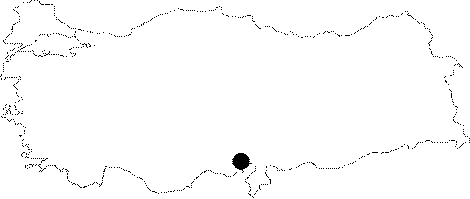 |
For photographs please click on the photo... 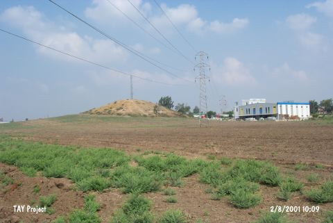 |
|
Type:
|
Mound |
|
Altitude:
|
80 m |
|
Region:
|
Mediterranean |
|
Province:
|
Adana |
|
District:
|
Merkez |
|
Village:
|
Merkez |
|
Investigation Method:
|
Survey |
|
Period:
|
|
|
|
|
 |
|
| It is situated behind a gas station to the immediate south of the Adana-Ceyhan motorway, approximately 9 km east of Adana. It is a mid-size mound with a height of 7 m. It was discovered in 1934, followed by surveys and surface collections of R.O. Arik, M.V. Seton-Williams and J. Mellaart. I appears that the site had been inhabited from the Chalcolithic Age until the Hellenistic Period. It is one of the Late Hittite settlements [Seton-Williams 1954:158; findspot no. 8]. It takes place in the registered archaeological sites list prepared by Ministry of Culture and Tourism. |
| Location: |
| Geography and Environment: |
| History: |
| Research and Excavation: |
| Stratigraphy: |
| Small Finds: |
| Remains: |
| Interpretation and Dating: |