|
©The Archaeological Settlements of Turkey - TAY Project
|
|
|
|
|
|
Hayyim Tepe |
|
|
For site maps and drawings please click on the picture...  |
For photographs please click on the photo... 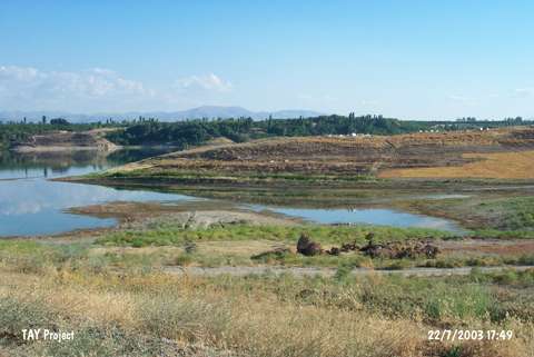 |
|
Type:
|
Mound |
|
Altitude:
|
700 m |
|
Region:
|
Eastern Anatolia |
|
Province:
|
Malatya |
|
District:
|
Yazihan |
|
Village:
|
Tecirli |
|
Investigation Method:
|
Survey |
|
Period:
|
Early Iron Age |
|
|
|
 |
|
| It lies 800 m west of Tecirli Village; southeast of Yazihan District of Malatya. With an oval shape, it covers area of ca. 125x50 m. The thickness of the deposit is unknown. Traces of stone walls are observed in the pits on the surface, which has been dug at some places as well as considerable natural erosion. It was discovered and surveyed by the Department of Prehistory of the Istanbul University on May 1977. Some Iron Age ceramics were identified. The deposit of the mound has been considerably eroded, and the settlement was probably established during the mid-Early Bronze Age, and abandoned in the early Iron Age. |
| Location: |
| Geography and Environment: |
| History: |
| Research and Excavation: |
| Stratigraphy: |
| Small Finds: |
| Remains: |
| Interpretation and Dating: |