|
©The Archaeological Settlements of Turkey - TAY Project
|
|
|
|
|
|
Güney Tepesi |
|
|
For site maps and drawings please click on the picture...  |
For photographs please click on the photo... 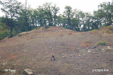 |
|
Type:
|
Mound |
|
Altitude:
|
640 m |
|
Region:
|
Black Sea |
|
Province:
|
Samsun |
|
District:
|
Kavak |
|
Village:
|
Yeralan |
|
Investigation Method:
|
Survey |
|
Period:
|
|
|
|
|
 |
|
| It lies north of the Yanbulu Quarter in the Yeralan Village, north of the kavak District in Samsun. Sherds dating to the 3rd, 2nd, and 1st Millennia and Roman Period were collected from the surface. It takes place in the registered archaeological sites list prepared by Ministry of Culture and Tourism. The mound appears in the Samsun Culture Inventory which was achieved after the surveys organized by the Samsun Special Provincial Administration Directorship of Development and Construction in 2009. It has been reported in the literature that a cemetery is located on the South Hill and there is a rock grave on its skirts. During the researches, a tumulus and a rock grave on its skirt were discovered. The burial chamber of the tumulus was exposed due to illicit diggings. The façade of the rock grave was flattened and its sides were formed like dromos. It has a small and quadrilateral entrance and one burial chamber. The floor of the chamber has been damaged. |
| Location: |
| Geography and Environment: |
| History: |
| Research and Excavation: |
| Stratigraphy: |
| Small Finds: |
| Remains: |
| Interpretation and Dating: |