|
©The Archaeological Settlements of Turkey - TAY Project
|
|
|
|
|
|
Gediksaray |
|
|
For site maps and drawings please click on the picture...  |
For photographs please click on the photo... 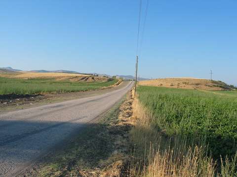 |
|
Type:
|
Mound |
|
Altitude:
|
590 m |
|
Region:
|
Black Sea |
|
Province:
|
Amasya |
|
District:
|
Göynücek |
|
Village:
|
Gediksaray |
|
Investigation Method:
|
Survey |
|
Period:
|
|
|
|
|
 |
|
| It lies 1 km north of Gediksaray Village; southwest of Amasya Province. It measures 350x150x15 m in dimensions. It is one of the largest mounds of the Middle Black Sea Region. The road leading to the subdistrcit of Gediksaray has divided the settlement into two. Presence of the EBA, MBA, LBA, Iron Age, Hellenistic and Roman Period was identified. It takes place in the registered archaeological sites list prepared by Ministry of Culture and Tourism. |
| Location: |
| Geography and Environment: |
| History: |
| Research and Excavation: |
| Stratigraphy: |
| Small Finds: |
| Remains: |
| Interpretation and Dating: |