|
©The Archaeological Settlements of Turkey - TAY Project
|
|
|
|
|
|
Garipoglu Kayasi |
|
|
For site maps and drawings please click on the picture...  |
For photographs please click on the photo... 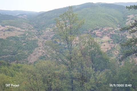 |
|
Type:
|
Slope Settlement |
|
Altitude:
|
940 m |
|
Region:
|
Black Sea |
|
Province:
|
Kastamonu |
|
District:
|
Tasköprü |
|
Village:
|
Akçakese |
|
Investigation Method:
|
Survey |
|
Period:
|
Early Iron Age Middle Iron Age Late Iron Age |
|
|
|
 |
|
| It rests on a plain ground over a steep rock lying to the east of the Alacam Stream, 75 km northwest of the Garipogullari Quarter in the Tasköprü District of Kastamonu. Terraces were carved into the bedrock on the southern and western sections of the rock. Limited number of sherds were found in the two illicity dug pits of 1.5x1.5 m, and inside the soil thrown next to them. The deposit is very thin. Presence of the Chalcolithic Age, EBA, Iron Age and Hellenistic Period was identified. |
| Location: |
| Geography and Environment: |
| History: |
| Research and Excavation: |
| Stratigraphy: |
| Small Finds: |
| Remains: |
| Interpretation and Dating: |