|
©The Archaeological Settlements of Turkey - TAY Project
|
|
|
|
|
|
Eldes / Nodalar Höyük |
|
|
For site maps and drawings please click on the picture...  |
For photographs please click on the photo... 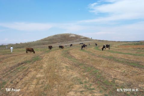 |
|
Type:
|
Mound |
|
Altitude:
|
1095 m |
|
Region:
|
Central Anatolia |
|
Province:
|
Konya |
|
District:
|
Ilgin |
|
Village:
|
Eldes |
|
Investigation Method:
|
Survey |
|
Period:
|
Late Iron Age |
|
|
|
 |
|
| It lies 500 m east of the Beykonak motorway, east of the Eldes Village, approximately 10 km southeast of the Ilgin District, northwest of the provincial center f Konya. It measures 25 m in height, and 75 m in diameter. It was discovered in 1994 during a survey conducted by H. Bahar in the Konya Ilgin region. Sherds dating to the Late Chalcolithic Age, EBA, MBA-LBA and Iron Age were collected from the surface. The 1st Millennium BC material consists of vessels with inverted rim and almost identical profile. Majority of them are in brick red, ash grey and dark grey. It was reported that the material of this period at Eldes Höyük are similar to the long-neck, inverted rim and thickened or tongue-like inverted ware of Karatepe in terms of their forms. It is listed among the registered archeological sites by the Ministry of Culture and Tourism. The Iron Age sherds include samples of the Late Iron Age. It takes place in the registered archaeological sites list prepared by Ministry of Culture and Tourism. |
| Location: |
| Geography and Environment: |
| History: |
| Research and Excavation: |
| Stratigraphy: |
| Small Finds: |
| Remains: |
| Interpretation and Dating: |