|
©The Archaeological Settlements of Turkey - TAY Project
|
|
|
|
|
|
Dikmen |
|
|
For site maps and drawings please click on the picture...  |
For photographs please click on the photo... 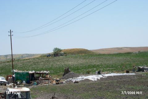 |
|
Type:
|
Mound |
|
Altitude:
|
1060 m |
|
Region:
|
Central Anatolia |
|
Province:
|
Ankara |
|
District:
|
Beypazari |
|
Village:
|
Dikmen |
|
Investigation Method:
|
Survey |
|
Period:
|
Early Iron Age Middle Iron Age Late Iron Age |
|
|
|
 |
|
| It lies 9 km south-southeast of Dikmen Village; 13 km southeast of Beypazari; west of Ankara Province. The road between Dikmen and Gençali villages passes from southeast of the mound. It's diameter measures 87 m long in north-south direction, and 121 m in east-west direction with a height of 9.5 m. Known with a bronze seal introduced by T. Özgüç, no information is available on other finds and location. It was re-investigated in 1992 during the Central Anatolia survey conducted under the direction of S. Omura. Accordng to the sherds collected from the surface, the site had been inhabited during EBA, MBA, LBA and Iron Age. It takes place in the registered archaeological sites list prepared by Ministry of Culture and Tourism. |
| Location: |
| Geography and Environment: |
| History: |
| Research and Excavation: |
| Stratigraphy: |
| Small Finds: |
| Remains: |
| Interpretation and Dating: |