|
©The Archaeological Settlements of Turkey - TAY Project
|
|
|
|
|
|
Dereagil |
|
|
For site maps and drawings please click on the picture...  |
For photographs please click on the photo... 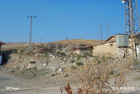 |
|
Type:
|
Mound |
|
Altitude:
|
525 m |
|
Region:
|
Black Sea |
|
Province:
|
Amasya |
|
District:
|
Suluova |
|
Village:
|
Yüzbeyi |
|
Investigation Method:
|
Survey |
|
Period:
|
Middle Iron Age |
|
|
|
 |
|
| It lies southwest of the Dereagil Quarter, south of the Yüzbeyi Village, northwest of the provincial center of Amasya. It is located between the Keltepe and Yassical Ridges. The northern section has been partly destroyed by the road. Discovered in 1987 during the surveys conducted by M. Özsait, it has been destroyed due to road construction. Based on a single find, it appears that Dereagil Hill also has a Middle Iron Age settlement as well as the settlements from the Late Chalcolithic Age, Early Bronze Age II-III and Late Bronze Age. This sherd belonging to a bowl is undecorated with an inverted rim, and a shallow and rounded body. A similar sherd was found on the northwestern slope of Bogazköy. |
| Location: |
| Geography and Environment: |
| History: |
| Research and Excavation: |
| Stratigraphy: |
| Small Finds: |
| Remains: |
| Interpretation and Dating: |