|
©The Archaeological Settlements of Turkey - TAY Project
|
|
|
|
|
|
Danabasan Tepesi |
|
|
For site maps and drawings please click on the picture...  |
For photographs please click on the photo... 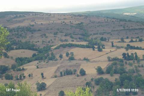 |
|
Type:
|
Mound |
|
Altitude:
|
710 m |
|
Region:
|
Black Sea |
|
Province:
|
Samsun |
|
District:
|
Kavak |
|
Village:
|
Büyük Çukur |
|
Investigation Method:
|
Survey |
|
Period:
|
|
|
|
|
 |
|
| It lies to the west of the Havza-Kavak motorway, east-southeast of the Büyük Çukur Village, west of the Kavak District in Samsun. It has been wooded, and partly used as a cultivation land. It has been destroyed to a great extent due to illicit diggings. Sherds dating to the 3rd, 2nd and 1st Millennia were collected from the surface. |
| Location: |
| Geography and Environment: |
| History: |
| Research and Excavation: |
| Stratigraphy: |
| Small Finds: |
| Remains: |
| Interpretation and Dating: |