|
©The Archaeological Settlements of Turkey - TAY Project
|
|
|
|
|
|
Çokumagil |
|
|
For site maps and drawings please click on the picture...  |
For photographs please click on the photo... 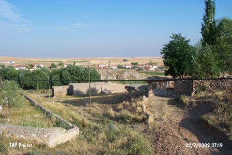 |
|
Type:
|
Mound |
|
Altitude:
|
1175 m |
|
Region:
|
Central Anatolia |
|
Province:
|
Yozgat |
|
District:
|
Bogazliyan |
|
Village:
|
Esentepe |
|
Investigation Method:
|
Survey |
|
Period:
|
|
|
|
|
 |
|
| It is located in the Esentepe (Çokumagil) Village of the Bogazliyan District in Yozgat. It measures 170 m in diameter, and 14 m in height. First investigated by Mellart, it was also studied during the surveys conducted in Central Anatolia under the direction of S. Omura in 1990. Sherds dating to the Chalcolithic Age are intense. Sherds from the Iron Age were found, too. It takes place in the registered archaeological sites list prepared by Ministry of Culture and Tourism. |
| Location: |
| Geography and Environment: |
| History: |
| Research and Excavation: |
| Stratigraphy: |
| Small Finds: |
| Remains: |
| Interpretation and Dating: |