|
©The Archaeological Settlements of Turkey - TAY Project
|
|
|
|
|
|
Çengeltepe |
|
|
For site maps and drawings please click on the picture... 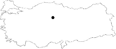 |
For photographs please click on the photo...  |
|
Type:
|
Mound |
|
Altitude:
|
1335 m |
|
Region:
|
Central Anatolia |
|
Province:
|
Yozgat |
|
District:
|
Merkez |
|
Village:
|
Merkez |
|
Investigation Method:
|
Excavation |
|
Period:
|
|
|
|
|
 |
|
| Location: It lies south of the Yozgat-Sivas motorway; about 500 m east of the Yozgat Province. |
| Geography and Environment: Çengeltepe stands on a volcanic rocky hill at the end of a soft and curved slope. Right across it lays Mercimektepe on the north. Through this low pass between the twin-settlements area runs a motorway. Almost two third of the hill have been destroyed by the brick quarries. |
| History: |
| Research and Excavation: Of the two settlement, which are suggested to have been contemporary, Çengeltepe was given priority for salvage excavation as it was more heavily destructed. The excavation was conducted in 1966 under the direction of A. Ünal of the excavation team at Alacahöyük. It is listed among the registered archaeological sites prepared by the Ministry of Culture and Tourism. |
| Stratigraphy: It was also called Eski Yozgat, and it had been inhabited during EBA, Phrygian, and Hellenistic-Galat Periods. Trench on the hilltop yielded 5 EBA layers (8-4 of all) while the one on the slope yielded 2 layers. The virgin soil was reached at 5 m. |
| Small Finds: |
| Remains: |
| Interpretation and Dating: |