|
©The Archaeological Settlements of Turkey - TAY Project
|
|
|
|
|
|
Çam Tepe |
|
|
For site maps and drawings please click on the picture...  |
For photographs please click on the photo... 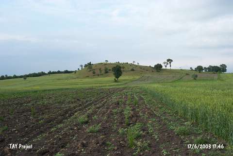 |
|
Type:
|
Upland Settlement |
|
Altitude:
|
760 m |
|
Region:
|
Black Sea |
|
Province:
|
Samsun |
|
District:
|
Havza |
|
Village:
|
Imircik |
|
Investigation Method:
|
Survey |
|
Period:
|
|
|
|
|
 |
|
| It lies 300 m west-northwest of Tastepe, 2.4 km southwest of the Imircik Village, northwest of the Havza District in Samsun. Sherds from the EBA, Iron Age and Late Roman Period were collected from the surface. |
| Location: |
| Geography and Environment: |
| History: |
| Research and Excavation: |
| Stratigraphy: |
| Small Finds: |
| Remains: |
| Interpretation and Dating: |